


Author and Publication
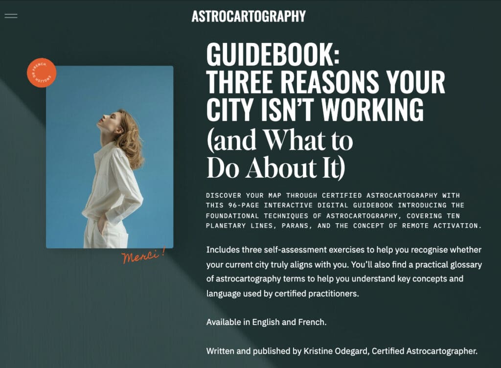
The Astrocartography® Guidebook is a 96-page interactive digital publication. Kristine Odegard, Certified Astrocartographer, wrote and published it in both English and French. It is available through Astrocartography.fr as part of an ongoing body of work dedicated to the study, application, and transmission of astrocartography as a formal discipline.
This guidebook presents a structured framework for understanding how planetary lines operate across geographical space and how individuals can interpret their lived experience in relation to place.
Why This Guidebook Exists
Frequently, people view astrocartography through visual maps without sufficient methodological grounding. They interpret the main planetary lines that are easily identifiable. However, their interpretation is often oversimplified or detached from the individual’s psychological and situational context.
I wrote this guidebook in order to address that gap.
It introduces a clear interpretative structure that connects:
- planetary symbolism
- angular expression (AC, DC, MC, IC)
- lived experience in a specific location
The objective is to move from passive observation of maps to active, informed interpretation.
Structure of the Guidebook
The guidebook is organised into four core layers, each building on the previous one.
1. Conceptual Foundation
The opening section establishes the principles of Astrocartography® (ACG), focusing on how planets in the natal chart project onto the four angles—Ascendant, Descendant, Midheaven, and Imum Coeli—across the globe.
This provides the essential framework for understanding how location modifies planetary expression.
2. Technical Framework
The second layer introduces the core techniques used in professional astrocartography practice:
- Astrocartography® (ACG) lines
- Parans (simultaneous angularity)
- Local Space directions
- Relocated charts
- CycloCartoGraphy (CCG) for timing
Each technique is defined and positioned within a coherent system allowing the reader to understand not only what each method is, but how and when it should be applied.
3. Interpretative Layer
The guidebook then shifts from technical structure to interpretation.
Rather than presenting fixed meanings, it introduces a model based on:
- emotional signals
- behavioural patterns
- recurring life themes
These indicators are used to identify how a planetary line is being experienced in practice.
This approach reflects the reality that planetary influence is not theoretical—it is lived, felt, and expressed through daily experience.
4. Interactive Learning Tools
A defining feature of the guidebook is its interactive design.
The reader is not positioned as a passive recipient of information, but as an active participant in the interpretative process.
The guide includes:
- a structured glossary of Astrocartography® terms
- guided self-assessment exercises
- multiple-choice diagnostic questions
- visual decision cards linking emotional states to planetary signatures
- step-by-step interpretative sequences
- concept of remote activation
These tools are designed to develop pattern recognition and to support independent analysis of location-based experiences.
A Methodological Approach to Interpretation
The guidebook introduces a clear working sequence:
- Identify what feels off or aligned in a given location
- Translate that experience into symbolic language
- Map the pattern to planetary lines and angles
- Evaluate the role of supporting techniques (parans, local space, relocation, timing)
- Formulate a coherent interpretation
This structured approach allows astrocartography to function as a decision-making tool rather than a purely descriptive system.
Bilingual Publication and Accessibility
The Astrocartography® Guidebook is published in both English and French, with identical structure and methodology across both versions.
This ensures accessibility for a wider European audience and reflects the intention to develop astrocartography within a multilingual professional context.
Access:
Integration Within a Broader Body of Work
This guidebook forms part of a larger body of work that includes:
- individual astrocartography consultations
- long-form research articles and case studies
- the European Astrocartography Interview Series
- upcoming training programmes and educational initiatives
Together, these elements contribute to the development of a structured and transmissible approach to astrocartography in Europe.
Publication Record
Author: Kristine Odegard
Title: Astrocartography® Guidebook
Format: Interactive digital publication
Length: 96 pages
Language: English and French
Publisher: Astrocartography.fr
Year: 2026
Access the Guidebook
The Astrocartography® Guidebook is available online as an interactive digital publication.
This publication establishes a structured methodological framework for astrocartography interpretation and contributes to the ongoing development of Astrocartography® as a professional and educational discipline in Europe.


Comments +